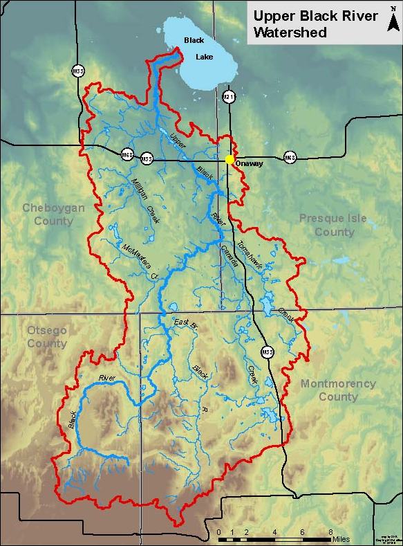
Upper Black River Council
Drone Footage
This video represents a condensed version of our 2022 drone video stream assessment. We ended up with over an hour of raw video which has an enormous file size, but we have produced an edited 14 minute video which includes excerpts. The raw video was used for the beaver activity, in-stream structure assessment but this edited video is more for informational/promotional purposes.
This is unlabeled but begins in the former Saunders Dam area and illustrates some of the work which has been done in the past 4 years in the reach from Johnson Crossing to the Tyrolean Hills development. Then, a reach of the Main Branch near the old RR grade, then the impoundment near the RR and the Rattlesnake Creek beaver dam complex.
From there, it goes from the impoundment which has been created by a beaver dam complex at the Rattlesnake Creek RR Grade, then up the East Branch to Barber Bridge and then north from the bridge. It ends with a clip of the Main Branch south from King’s Bridge.
This video is in 4K resolution so it’s suitable for larger screen presentations.